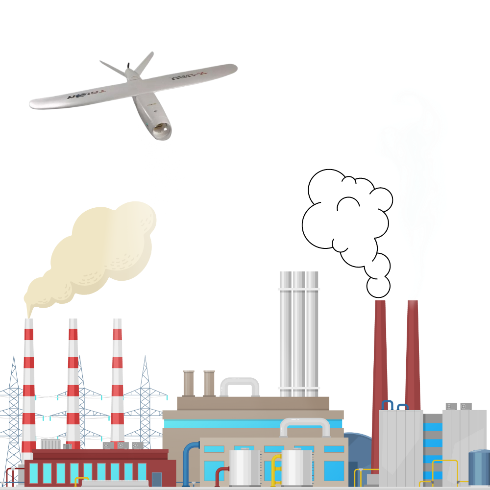
In thermal power projects, we offer inspection, monitoring, surveying, and mapping services by identifying hotspots, heat leaks, and malfunctioning components, enabling faster and safer operations to improve inventory management, storage space optimization, security, and real-time surveillance of critical infrastructure.
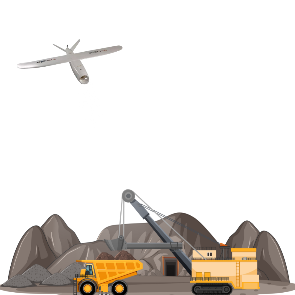
Mining
We offer real-time quarry monitoring, stockpile volumetric estimation/physical verification, inventory management, O&M, haul road mapping, water & sediment flow, etc as a part of AI/ML-based advanced mine analytics as a software-based aerial service solution. These features contribute to mining-related hazard identification & mitigation.
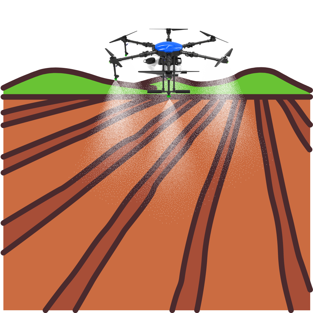
Agriculture
We offer aerial surveys, irrigation system monitoring, crop health assessment, water quality analysis, dam and reservoir inspection, watershed management, diversion headworks inspection, flood monitoring, early warning systems, etc. amongst others.
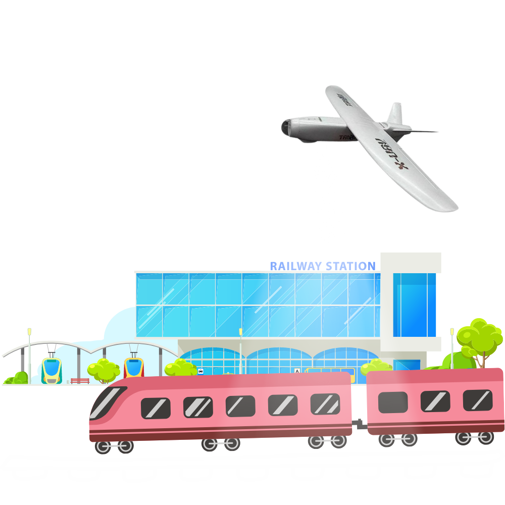
Railways & Metro
We are specialised in detail project report (DPR), final location survey, engineering services, aerial services and monitoring. Our UAV/drone technology-based services in railways are route alignment survey, topographical survey and mapping, asset tagging, GIS survey, GPR survey, LiDAR surveys, track videography, encroachment analysis, mapping of railway yards and sheds, station, and depot layout planning.
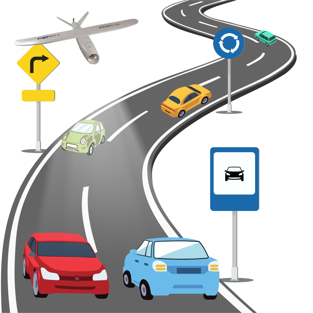
Roads & Highways
We are specialised in detail project report (DPR), final location survey, engineering services, aerial services and monitoring. Our UAV/drone technology-based services in roads and highways are route alignment survey, topographical survey and mapping, asset geo-tagging, GIS survey, GPR survey, LiDAR survey, road videography, corridor encroachment analysis, RoW profiling.
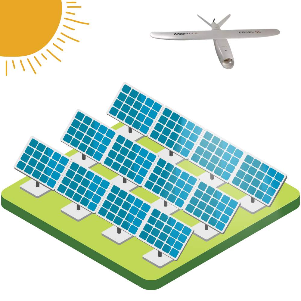
Solar Power
We offer comprehensive drone-based solar panel inspection, IR imaging, aerial thermography (thermal inspection), visual inspection, PV module inspection, IV curve testing, hotspot detection, solar plant surveys, drone-based module cleaning, pre-commissioning topographical surveys, solar plant progress monitoring and surveillance for solar assets.
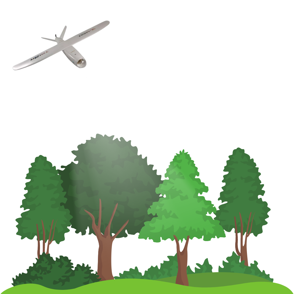
Forestry
We offer UAV and MAV-based topographical surveys of the forest, mangroves and wetland areas, monitoring of young plantations, conduct tree counting, vegetation health mapping, encroachment analysis, biomass estimation, forest carbon stock mapping, mangrove sapling monitoring, biodiversity mapping, tree species mapping, site suitability planning for afforestation, canopy structure, etc.
Dams & Hydro
We specialize in software-based aerial surveys for hydropower project inspections, topographical surveys, dam change detection, real-time monitoring, visual settlement reporting, floodplain modeling, and automated maintenance and inspections.
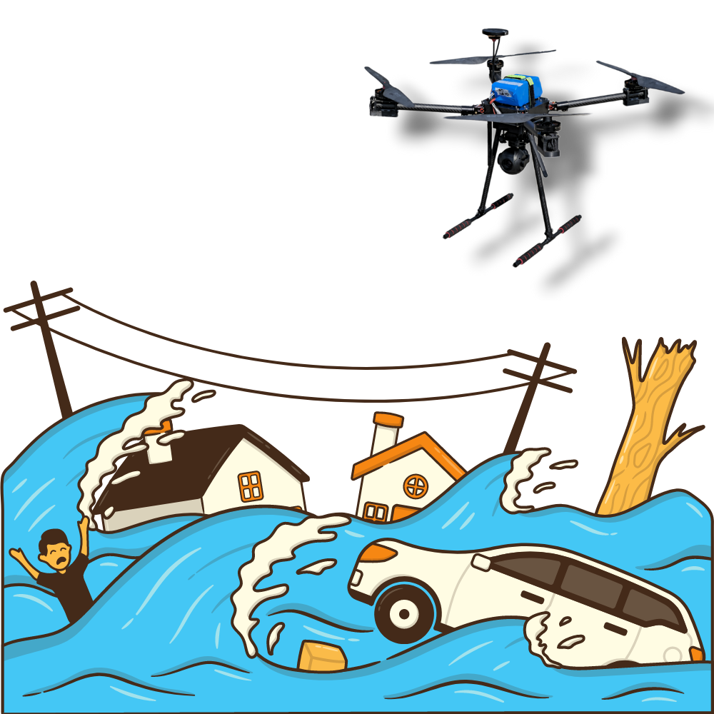
Disaster Risk Management
We provide aerial monitoring of disaster-affected areas, asset geotagging, drone-based topographical surveys, flood inundation modelling, glacial lake outburst management, pre-management of cyclones & post-inspection for damage assessment, structural inspection in earthquake-prone areas, and hazardous waste management.